
Delaware Block Sources for Neighbors
The public record for a Delaware block is a set of bounded sources, not a neighbor directory. Start with parcel geometry and then decide whether the question is about land, municipal geography, a historic street reference, or a civic organization. The County GIS and Auditor are the location-first resources. The Recorder provides recorded-land context. A state voter query is a named inquiry with strict limits, not a block search. This separation keeps a map question from becoming a claim about the people who may be nearby.
| Source | What it shows about a block | Access |
|---|---|---|
| Delaware County GIS | Parcel geometry, address points, roads, ZIP, municipality, annexation, and subdivision context | Public viewer and map layers; not a people list. |
| Auditor property search | One parcel’s property facts, address, value, conveyance, and characteristics | Official property route; property information is not a current-presence claim. |
| Recorder instruments | Recorded deeds, plats, legal descriptions, and dated party roles | Online coverage generally begins in 1990, with office research for older or non-computerized material. |
| Ohio voter lookup | Named registration and precinct context when an exact inquiry is justified | First name, last name, and county required; no road or address browse. |
| Public civic contacts | An organization’s own stated program and contact information | Official association, City, Sheriff, library, or historical-society page. |
The County’s Auditor GIS is the right starting point for the location itself. Its address, parcel, and road tools give a neutral way to inspect the block. A record might describe a parcel, a past transaction, or a civic program, but it does not establish a current household relationship.
Note: A parcel identifier moves a Delaware block question between County sources without turning a map result into a personal profile.
Delaware Parcel Geometry for Neighbors
Use a neutral, parcel-first flow when the question is how a Delaware block is laid out. A street centerline is the road drawing. An address point is an assigned location. A parcel is the land boundary. Keeping those parts separate prevents a nearby map feature from being presented as a statement about a person.
- Enter one known address in the Delaware County Auditor property search or the GIS Property tab.
- Retain the parcel identifier, then compare its Parcel, Address Point, and Street Centerline layers in the GIS viewer.
- Inspect surrounding parcel shapes only as geometry, and turn on Municipality, Annexation, Zip Code, and Subdivision layers for context.
- Where a recorded-land question remains, use the parcel, legal description, tract, or instrument route at the Recorder.
- For a whole named-road record trail, use the Delaware street directory rather than turning the immediate-block process into a roster.
The GIS viewer supports Property, Advanced, Subdivision, and Intersection tabs. Intersection is a navigation tool, not a parcel selector. Subdivision search can lead to recorded plat context. A plat records land development and boundaries, not association membership or a directory of people nearby.
Delaware GIS Layers Around Blocks
The County map-service inventory lists Parcel, Address Point, Street Centerline, Building Outline, Zip Code, Township, Municipality, Annexation, Tax District, School District, Subdivision, Farm Lot, and PLSS. The combination is useful for explaining why a postal label, road location, and municipal boundary can differ. It is not a substitute for a survey, recorded document, or a private-person source.
Delaware County GIS has announced a replacement viewer and warns that new-viewer geometry can lag changes until refreshed. Add the map display date to a research note. If a boundary question is disputed, request a narrowly described map or consult the controlling record rather than relying on a screenshot. The GIS program publishes custom-map availability and related fees for a defined request.
Broad planning descriptions identify Northwest, East Side/Old Colony, University District, Marvin/Delaware Meadows, West, and Southwest. They are community areas, not universally fixed legal boundaries. A neighborhood label should come from the relevant planning source and map context, not from an address alone.
Note: Municipality and Annexation layers describe jurisdictional context, while a ZIP layer describes delivery geography for the address.
Delaware Neighborhood Contact Routes
Community information is strongest when it comes from an organization’s own public page. The Northwest Neighborhood Association says it began in 2001, has no dues, welcomes sign-ups, and supports neighborhood communication. Its public page can confirm the association’s stated purpose and contact route. It cannot establish that a person lives in the area, belongs to the group, or appears on a complete membership list.
Northwest Neighborhood Association
Public community association information and sign-up route.
nna@delawarenna.com
Delaware County District Library
Local History resources include maps, historic directories, and community context.
84 E. Winter St., Delaware
Delaware County Historical Society
Historic newspapers, atlases, maps, yearbooks, and personal archives.
157 E. William St., Delaware
The Northwest Neighborhood Association public page is a suitable source for its own public community information.
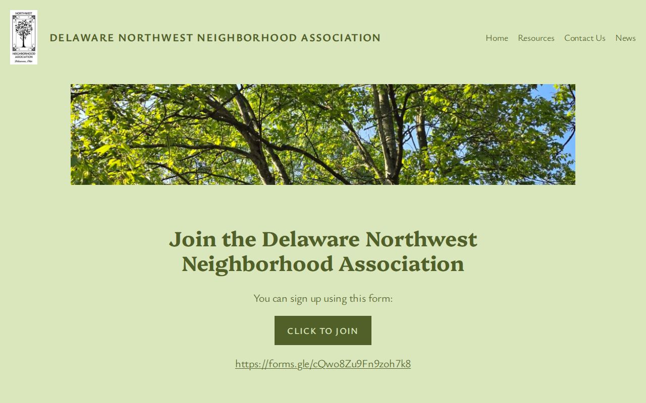
The public page provides community context without turning a block-focused search into a list of members or households.
Delaware Watch Programs and Contacts
Watch programs are communication routes, not public membership directories. The City Police Neighborhood Watch information describes a captain-based process for distributing information and a phone-tree or member-list approach within a participating group. That internal arrangement does not make the names public. Contact the program directly when a block wants to learn about participation.
| Program | Public route | What the source supports |
|---|---|---|
| City Police Neighborhood Watch | City Police Crime Prevention page | Captain-based communication process, not a public participant list. |
| Sheriff Block Watch | 740-833-2817 or sheriffinfo@co.delaware.oh.us | Residents may initiate a watch by contacting the Sheriff. |
The Delaware County Sheriff Block Watch page supplies the reported contact route. No searchable participant list was identified. That limitation protects both existing groups and people considering a new watch.
Note: Watch-program outreach is through a public contact route, not a participant search or block membership record.
Delaware Neighbor Tools Compared
Official map and land-record tools have a clear custodian and a defined record scope. Commercial neighbor-lookup categories may combine data from many sources, but the research found no official Ohio data-broker removal program and they should not be treated as proof of presence, membership, or a current relationship to a block. A direct official source makes the record date, geographic layer, and correction route easier to check.
| Tool category | Useful question | Limit to keep in view |
|---|---|---|
| Official GIS and Auditor records | Where is a parcel, address point, road, or public boundary? | They document property and geography, not current occupants. |
| Recorder instruments | What land document or legal description was recorded on a date? | A party role in an instrument is not a present-location claim. |
| Commercial neighbor-lookup category | General discovery leads that require independent review | May be incomplete, stale, or poorly matched; it is not an official block record. |
| Association or watch contact | How can a person contact a public civic program? | Contact information does not reveal membership or a roster. |
For a correction or safety concern, contact the originating agency or organization. Record the official source, source date, record category, and what the result does not establish. That is more reliable than merging unrelated entries around a Delaware block.
Delaware Boundaries Without a Roster
County GIS publishes Zip Code, Municipality, and Annexation as separate layers. USPS lookup is for delivery formatting of a specific address, not proof of City jurisdiction or a household. The official postal convention is Delaware, OH 43015, but the research did not find an authoritative single list of every delivery ZIP for every City address. Compare the ZIP layer with Municipality and Annexation before writing a location description.
Subdivision and condominium research has a similarly narrow role. The GIS Subdivision search can point to recorded plat context. Research did not locate an official searchable HOA or condominium membership registry. The safe response is to use the public association contact, or ask the appropriate custodian for a specific existing record, rather than infer a group from an address.
A City grant page’s defined area around Toledo, Blue Limestone, Montrose, and Park streets documents that program’s geography only. It should not be stretched into a permanent neighborhood boundary. Local planning context remains useful when its source and date stay attached.
Note: A planning label provides context only when it is tied to its original map and document date.
Delaware Recorder Alerts for Owners
Recorder notices can help an owner monitor recorded-document activity without creating a nearby-person record. The current Recorder AlertMe enrollment page uses name and email enrollment followed by confirmation. It sends a post-enrollment alert about recorded documents. It is a monitoring aid, not a decision about a document’s validity, and it does not supply a nearby-person roster.
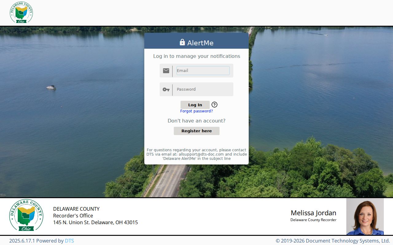
AlertMe is limited to the name-monitoring function described by the Recorder, so a notice should be checked with Recorder staff and the actual instrument record.
The Recorder reports that prior Property Check users were migrated to AlertMe between September 29, 2020 and December 6, 2024. Its property-fraud guidance says an alert does not decide validity. A suspected deed or lien issue belongs with Recorder staff, title or legal professionals, or law enforcement, not a public accusation about a block.
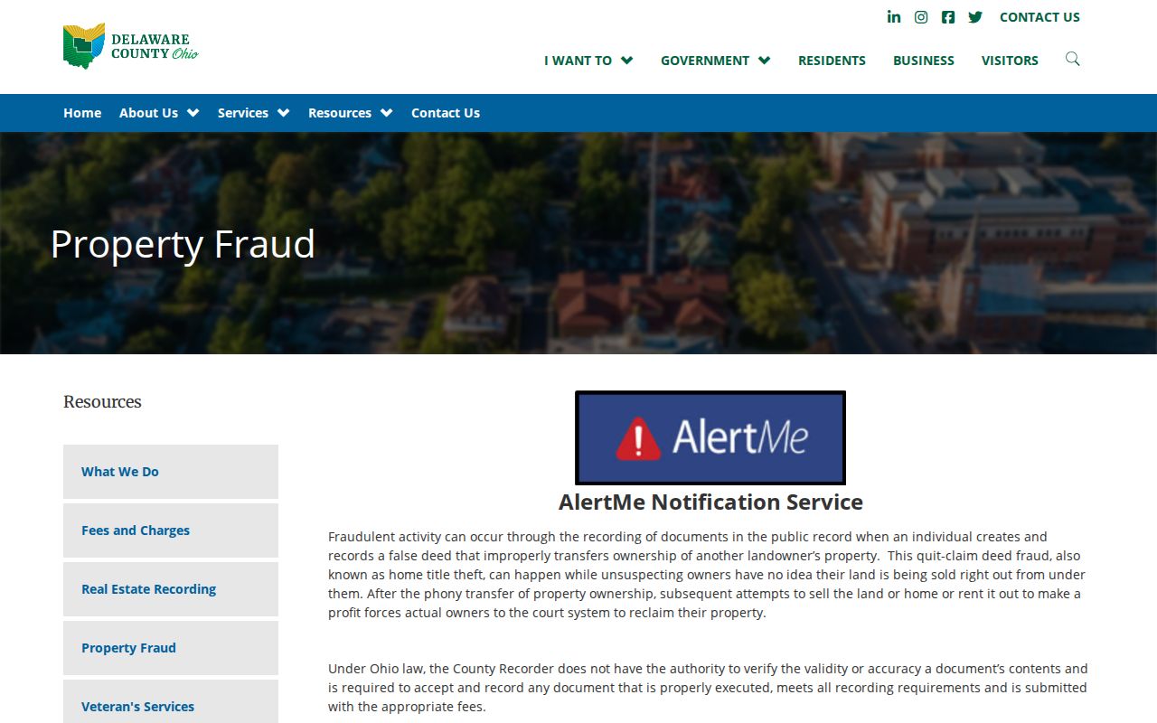
The Recorder’s guidance places property-fraud alerts in the recorded-document context, separate from community contact resources and any neighbor search.
Delaware Neighbor Privacy Limits
Delaware neighbors research must stop before it becomes a private-person profile. Ohio’s Public Records Act permits inspection and copying of non-exempt records, but it does not remove redactions, court limits, or protected-address rules. Voter exclusions in ORC 3503.13 include confidential registrations and other protected fields. A named voter query cannot be converted into an address or road list.
Safe at Home is Ohio’s address-confidentiality program for qualifying survivors. If a person indicates protected status or a credible safety concern, suppress location-revealing material and use the Safe at Home or source-custodian route. The research standard also excludes phone or email, date of birth, identity numbers, protected addresses, minor profiles, sensitive court or vital material, raw voter downloads, and public adjacency rosters.
Lawful use. Use Delaware neighbors resources for a specific, lawful geographic or civic question. Do not use map or record information to target, stalk, harass, or harm another person.