
Delaware ZIP Code Coverage
The documented Delaware mailing convention is 43015. City and County contacts use that last line, and USPS issued a 2025 notice directing the use of Delaware OH 43015 after the Delaware Main Office ZIP facility was discontinued. The research did not locate an authoritative list of every delivery ZIP associated with every City address. For that reason, the table identifies only the documented postal label and does not imply that it lists every ZIP or every delivery route serving the City.
| ZIP | Areas Covered | Post Office | Notes |
|---|---|---|---|
| 43015 | Documented Delaware mailing convention used by City and County contacts | USPS-directed Delaware last-line format | Postal geography only, not a City-limit or parcel finding |
A delivery ZIP is assigned for mail service. It is not an official municipal boundary and does not identify a household. Check the USPS result for the exact address whenever a delivery label matters, then compare it with the County GIS Municipality and Annexation layers before describing geographic jurisdiction.
Delaware Postal Address Verification
Use the USPS delivery lookup to check an exact address-to-ZIP result or city-and-state information. That function is a delivery-format check. It does not confirm who receives mail at an address, establish a business presence, or settle a City boundary. Preserve the USPS result as postal evidence, then use the appropriate County record or map layer for the next question.
The official USPS lookup starts with an address or a city-and-state query, not with a resident name.
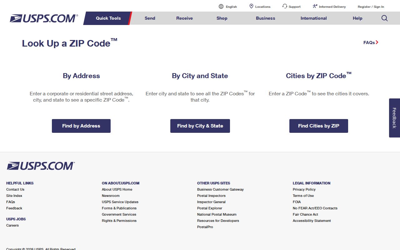
A verified postal format can be recorded beside the source date without turning a delivery result into a location claim about a person.
Delaware Postal Format Records
USPS published a Delaware-specific notice in its January 18, 2025 Postal Bulletin. The notice says the Delaware Main Office ZIP facility was discontinued and directs use of “Delaware OH 43015” as the last line. This is a useful formatting instruction for an address check. It does not change municipal lines, property parcels, legal descriptions, or the scope of a City service area.
The Postal Bulletin notice supplies the official context for the current Delaware last-line convention.
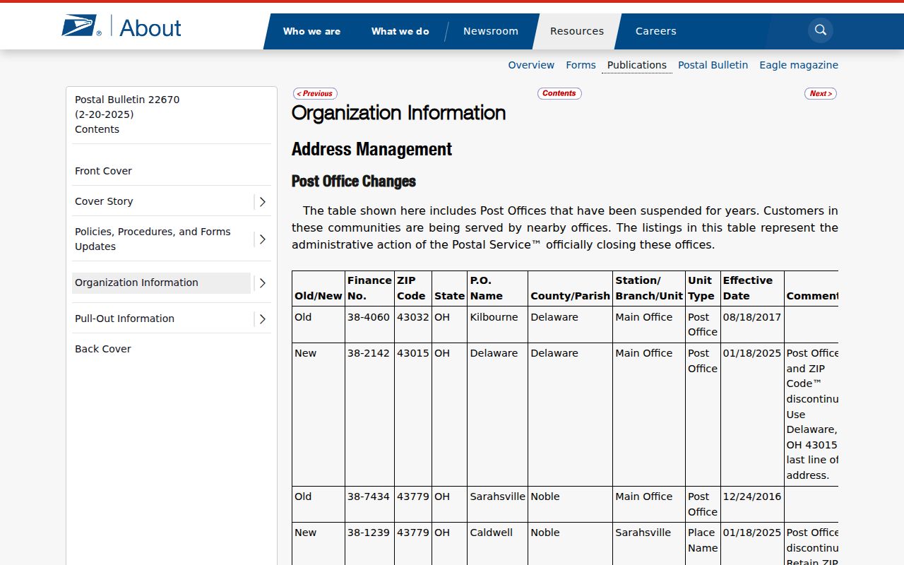
Keep the postal label separate from a map finding, especially when an address needs a City-limit or annexation determination.
Delaware GIS Records Controls
The County GIS is the local visual route for comparing the postal delivery, Municipality, and Annexation layers. It also distinguishes Address Point, Street Centerline, Parcel, and Building Outline. Those layers represent different geographic concepts and can differ in date or scale. The County has announced a GIS viewer replacement and warns that geometry in the new viewer can lag recent changes, so note the retrieval date when a boundary matters.
The Delaware County GIS program describes the replacement-viewer notice and directs users to its mapping resources.
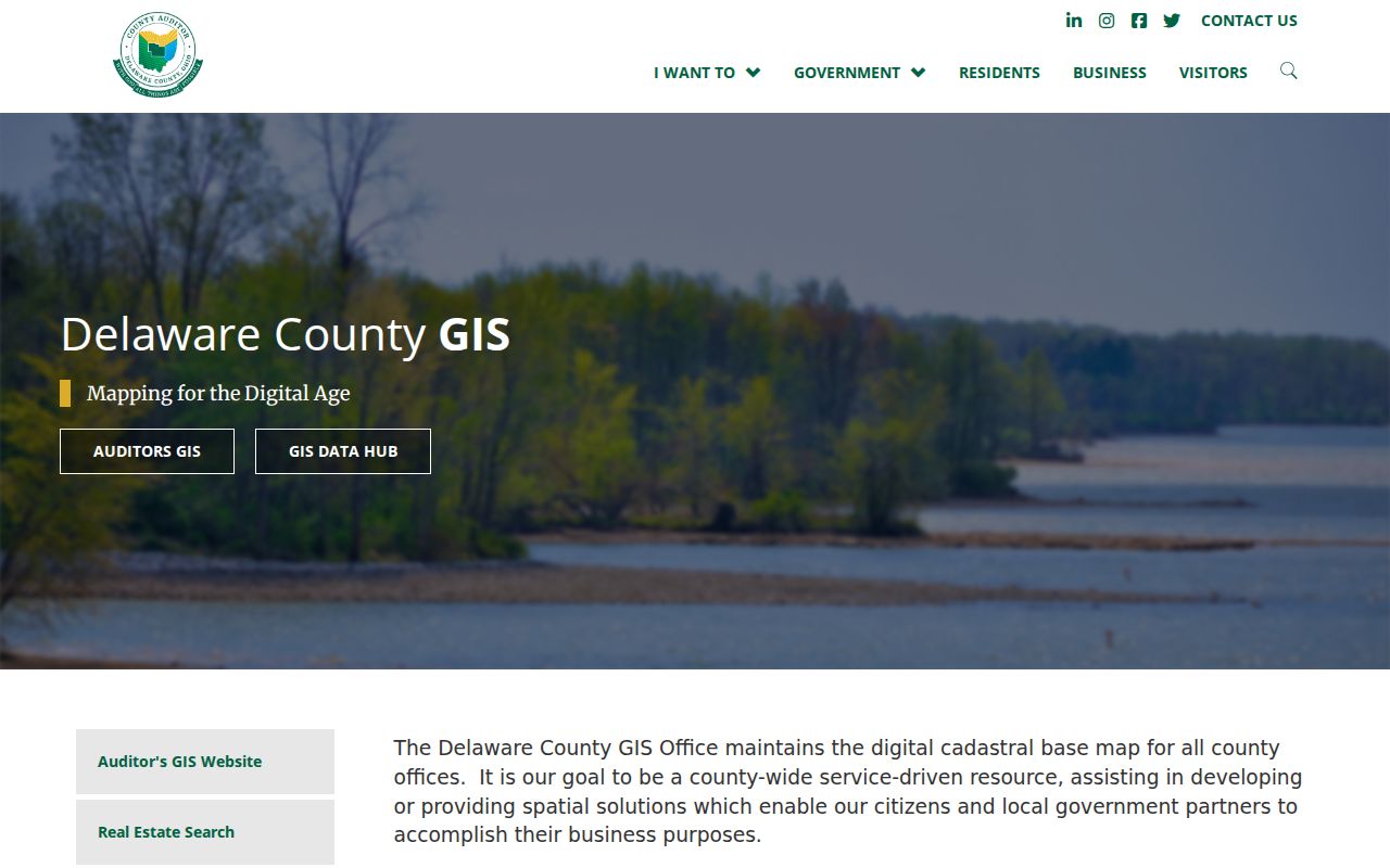
Use the official layers to compare postal geography with municipal geography, rather than assuming that the same ZIP defines both.
No ZIP field was documented in the Auditor GIS Property or Advanced search controls. The recorded controls are useful after an address or parcel is known, while the postal delivery layer is a map overlay rather than a property-search field.
| GIS route | Recorded controls | ZIP role | Use limit |
|---|---|---|---|
| Property | Owner Name, Address, Parcel Number, smart autocomplete | No documented ZIP field | One term is required |
| Advanced | Municipality, Township, Street Name, subdivision and property characteristics | No documented ZIP field | Use the matching portal controls, not a ZIP roster |
| Map layers | Zip Code, Municipality, Annexation, Parcel, Address Point, Street Centerline | Visual comparison overlay | Map geometry can lag updates |
| Intersection | Two road fields | No ZIP field | Navigation route, not parcel selection |
Researching Delaware Records
A Delaware postal label can narrow the geography of an address question, but the official tools have different keys. USPS verifies a delivery format. GIS lets a researcher compare the postal layer against Municipality and Annexation. The Auditor Property Search is keyed by owner, address, or parcel number, and the Treasurer path accepts a parcel number, last name, or street number and letters. Neither route should be described as a postal resident list.
- Enter the specific address in the USPS lookup and retain the returned delivery format as a postal result.
- Open the County GIS map and compare the postal layer with Municipality and Annexation for the same location.
- When a property record is needed, use the exact address or parcel number in the Auditor or Treasurer route and retain the parcel as the cross-source key.
- For a recorded instrument, take the parcel or legal-description context to the Recorder rather than using the ZIP as a document-search substitute.
- For a historic street question, use the dated street guide and city directory volume that fits the period, then test the address against a map or parcel source.
Once a ZIP check narrows the geography to a named road or address, the Delaware street directory provides the separate street-level research route. Voter lookup remains a named-person-and-county tool with required first name, last name, and county, not a ZIP or road browse.
Delaware Map Record Layer Check
When a postal question overlaps a map question, compare the underlying County GIS layers one at a time. An Address Point marks an assigned address location. Street Centerline shows road geometry. The Parcel layer shows land boundaries, and Building Outline represents a structure footprint. Add the postal delivery, Municipality, and Annexation layers as separate overlays. A difference between two layers may reflect scale, update timing, or the fact that the layers answer different questions.
The recommended local sequence is address query, selected parcel, then a comparison of Address Point, Parcel, and Street Centerline. After that, inspect postal delivery, Municipality, and Annexation rather than treating any one as a substitute for the others. The GIS map supports geographic context, while the Recorder’s legal description and the parcel identifier provide the more durable record trail when a boundary or recorded instrument is at issue.
Delaware Parcel Record Boundaries
The postal directory is a routing aid, not a master index. The Auditor Property Search accepts owner, address, or parcel number and supplies current parcel facts. The Treasurer accepts a parcel number, last name, or street number plus street letters, but a tax mailing address is not evidence of present residence. Keep the parcel number as the cross-source key when an address query becomes a property-record question.
The Recorder holds deeds, mortgages, plats, liens, land contracts, and related instruments. Its online coverage is generally 1990-present; pre-1990 research is an office route, and not every later record was computerized. A recorded transaction shows parties and a date, not who occupied the location. This distinction keeps postal, property, and instrument evidence in their proper lanes.
Delaware City Records Geography
City and Census sources measure City geography, not individual delivery ZIPs. The Census QuickFacts page reports Delaware’s 2020 population as 41,302, a July 1, 2025 estimate of 46,636, and 19.96 square miles of land. City Fast Facts reports a different 2025 population figure. Those figures should remain attributed to their separate sources and dates, and neither supplies a count for 43015 or a complete list of ZIPs serving City addresses.
The Census QuickFacts profile provides a City-level reference point for geographic context.
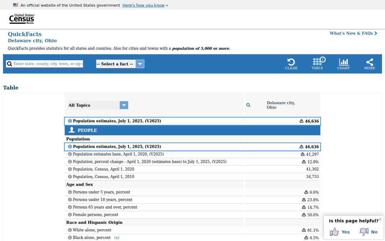
Use City statistics as attributed context only, then return to USPS and GIS when the question is the postal or municipal status of a particular address.
Delaware Postal Boundary Records
Postal delivery, City municipal geography, County parcel geography, and a Recorder legal description are separate categories of evidence. A Delaware address formatted with 43015 is not thereby proven to be inside the City, and a map layer alone may not settle a legal-description question. The County GIS publishes independent postal delivery, Municipality, and Annexation layers specifically so those differences can be examined instead of assumed.
- ZIP code
- A USPS delivery geography used to organize mail, not a municipal-boundary decision.
- ZIP+4
- An added delivery detail used with a base ZIP; it does not replace the official parcel or jurisdiction record.
- PO Box ZIP
- A ZIP used for post-office boxes, which should not be treated as a location of land or a City-limit finding.
- Unique ZIP
- A ZIP associated with a single organization or delivery arrangement; no such Delaware example is asserted here because the research did not document one.
- Carrier route
- A USPS delivery-routing concept, not a neighborhood boundary or a property ownership record.
Delaware Historic Address Records
Modern postal labels do not solve an historic address problem. DCDL holds historic city and county directories, maps, Sanborn resources, census material, and Delaware Gazette microfilm, while DCHS has newspapers, maps, atlases, yearbooks, and personal archives. For a historic location, start with the dated street guide or directory, compare a historic map, then test the result against a current parcel or legal description. Record the source date at each step.
No official City-wide historical street-renumbering or renaming table was located. A mismatch between an old street number and a current map should remain unresolved until the directory, historical map, Recorder sequence, and parcel evidence support the same interpretation. USPS formatting is useful for a current delivery address, not for backfilling a past street location.